The Fords of Rogerstown
-
mccloughlin
- Posts: 3
- Joined: 11 Feb 2018, 16:40
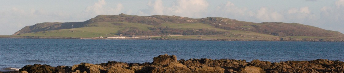
Does anybody know or has tried walking across Rogerstown estuary on any of the fords (West, Lugg, East) as shown on the old maps. Part of the West ford is visible to the eye and Google Earth in the middle of the estuary. The West ford connected Beaverstown to Rogerstown, as an extension of Beaverstown Lane, and the Lugg and East fords connected the Burrow to Rush.
Looks like they have been eroded away and no longer exist.
Certainly wouldn't attempt to cross now.
The estuary is a statutory Nature Reserve and a candidate Special Area of Conservation under the E.U. Habitats Directive, so I doubt these would be restored and should also prevent the electrification of the rail line to Balbriggan.
Certainly wouldn't attempt to cross now.
The estuary is a statutory Nature Reserve and a candidate Special Area of Conservation under the E.U. Habitats Directive, so I doubt these would be restored and should also prevent the electrification of the rail line to Balbriggan.